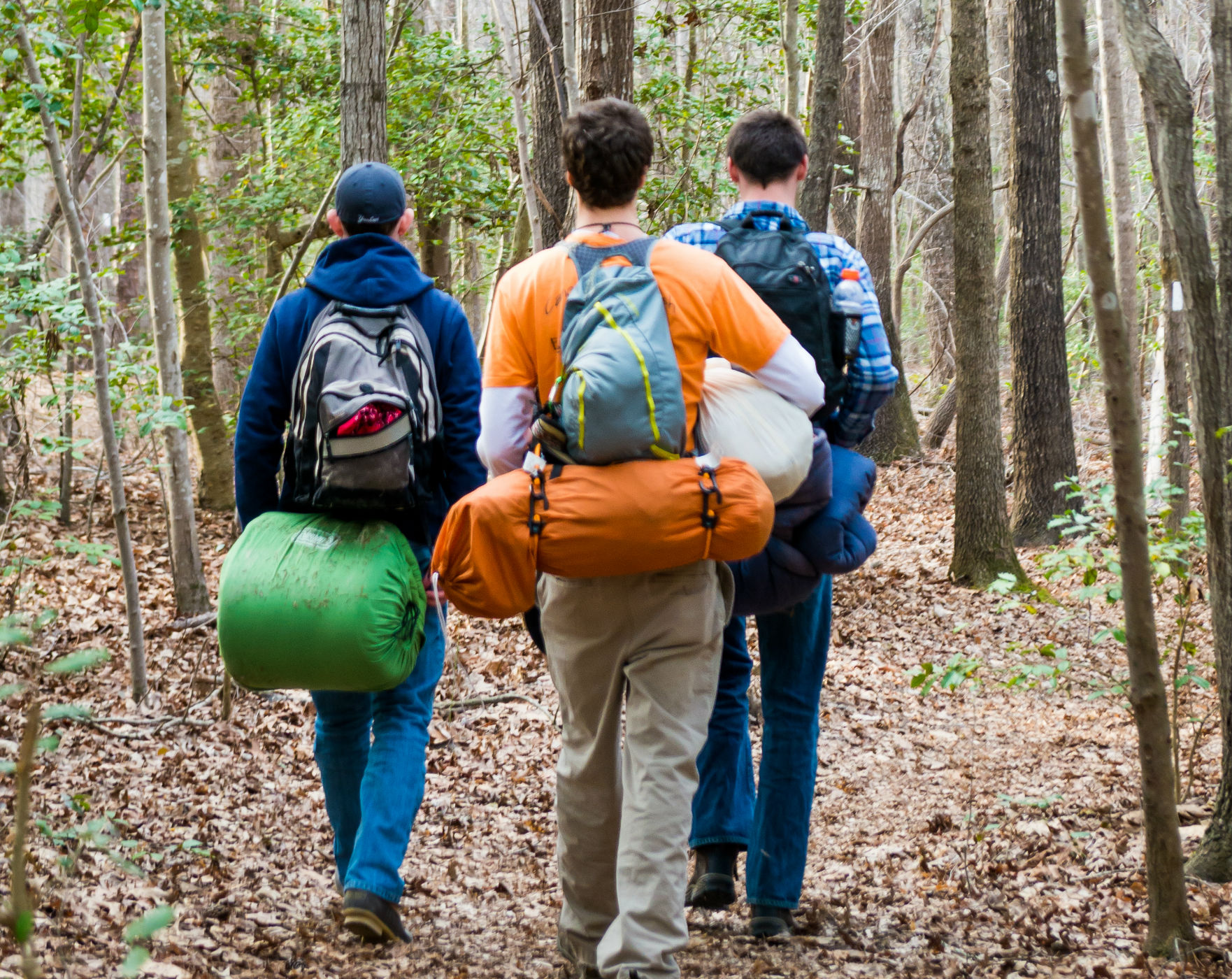
Hiking and Trail Running
 Click HERE for a hiking brochure.
Badin Lake Recreation Area Trails
- Name- Length- Rating- Blaze
- Greg's Loop- 1.5 miles- Easy- Green
- Blackburn- 2.2 miles- Easy- Green
- Josh- 2 miles- Easy- Green
- Lake Trail- 1.1 miles- Easy- Green
- Leslie- 1.2 miles- Moderate- Dark Green
- Big Rock Loop- 1.2 miles- Moderate- Dark Green
- Tony- 1.8 miles- Moderate- Dark Green
- Todd- 2.1 miles- Moderate- Dark Green
- Indian- 1.1 miles- Easy- Magenta
- Megan- 1.7 miles- Easy- Magenta
- Home- 2.5 miles- Easy- Magenta
- Larry- 1.5 miles- Easy- Magenta
- Helen's Loop- 2.2 miles- Easy- Magenta
- River- 3.6 miles- Moderate- Salmon
- Wren- 0.3 miles- Easy- Salmon
- Tanager- 0.7 miles- Easy- Salmon
- Rudolph- 0.3 miles- Easy- Salmon
- Burl Tree Way- 1.7 miles- Easy- Salmon
- Morgan- 1.7 miles- Easy- Salmon
- Hang Glider- 1.4 miles- Difficult- Salmon
- Buttermilk- 1 mile- Moderate- Salmon
- Berner- 0.6 mile- Easy- Yellow
- Fraley- 2.5 miles- Difficult- Yellow
- Bates- 1.7 miles- Moderate- Yellow
- Robbins- 1.7 miles- Easy- Yellow
Uwharrie Trail 20.5 miles Moderate From the Wood Run Trailhead on NC 24/27 to the Jumping Off Rock Trailhead on Flint Hill Road. A trailhead is located at the 8/12 mile mark on NC109.
Dutchman's Creek Trail 9.5 miles Moderate Marked with yellow blazes, starts at Wood Run as well. Dutchman’s is a single track that ends 9.5 miles north at Yates Camp, a hunt camp that is open year-round. This trail was designed as a loop system with the southern portion of the Uwharrie Trail.
Denson’s Creek Trail 2.2 miles Easy to Moderate This nature hike begins behind the Uwharrie National Forest office on NC 24/27, 2 miles east of Troy. This trail has two loops: a short loop of 0.75 miles and a longer loop of 2.3 miles. It connects, near Denson’s Creek, to the Town of Troy Trail.
Badin Lake Hiking Trail 5.6 miles Easy This lakeside trail is a 5.6-mile loop trail following the lake’s shoreline for more than half its distance, then looping back through hardwood forest to Cove Boat Ramp. The trail connects Cove Boat Ramp, Arrowhead Campground, Badin Lake Campground, King’s Mountain Point and a connector trail connects Badin Group Camp. A short loop of the trail circles Arrowhead Campground.
Birkhead Mountain Wilderness occupies 5,160 acres in the northern most lands of the Uwharrie National Forest and has a system of hiking trails. Robbins Branch Trailhead and Thornburg Trailhead both have parking. Talbots Branch Trailhead at the northern end of Birkhead Mountain Trail on Tott’s Farm Road does not have parking. Most often, the following trails are hiked in various loops out from the Thornburg and Robbins Branch Trailheads.
Birkhead Mountain Trail 5.6 miles Moderate
Hannah’s Creek Trail 1.4 miles Easy
Robbins Branch Trail 3.2 miles Moderate From Troy, take NC109 north to the village of Uwharrie and turn right on Ophir Road (SR 1134). Ophir Road becomes Burney Mill Road as you cross into Randolph County. Continue on to the intersection of Lassiter Mill Road and turn right. Proceed north on Lassiter Mill to first the Robbins Branch Trailhead and then the Thornburg Trailhead.
Town of Troy Trail 4.75 miles Easy From the Roy Maness Nature Preserve to the Little River near NC24/27, this 5-mile Trail follows Denson’s Creek and is especially beautiful when the Mountain Laurel are in bloom in late spring. A new parking lot has recently opened on Glen Road near the intersection with NC24/27. Limited roadside parking provides access to the trail at the bridge on Okeewemee Road.
Trail Racing
If running races is your thing or you want to try a trail run, the "Uwharrie Mountain Run" is over a quarter century old and has single-track trail runs of 8, 20 and 40 miles. The 26th annual run is Feb. 4, 2017 with registration opening November 1, 2016 at 8am.
Stop by our visitors' office 215 N. Main, Troy NC 27371 or call 910-572-4300 to get maps and detailed information on hiking and trails.